Maps are the way that humans have used for many years to interpret the world around them. Many types of maps have been created over that time, and interpreting them is a very interesting activity for anyone interested in geography, history, and orientation. Therefore, in Update 3.0 we give the most curious to learn to extract the meaning of different map modalities and orient themselves with them.
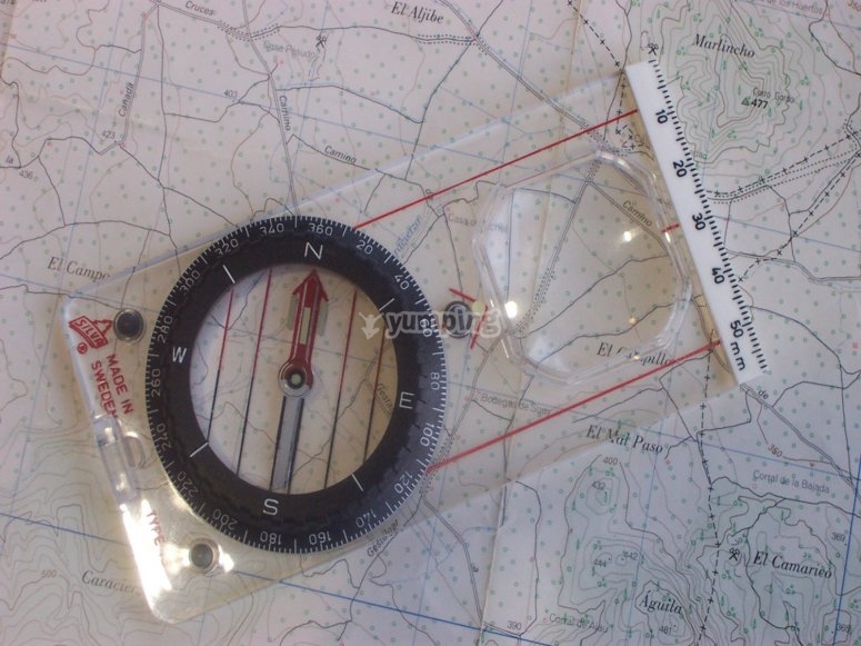
In our course you will be able to perfectly distinguish the symbols found in most planes, as well as curves, data and other complementary information. In our tour of this world we will see maps of extraordinary places, and we can even interpret one corresponding to Mars, the red planet. The topographic cuts and the direct relationship they have with geology will help us to deepen even more in this field.
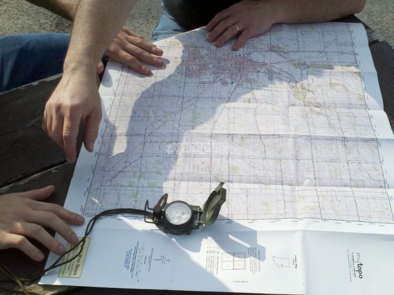
Finally, it will be time to put into practice everything you have learned so far. During a guided tour of the maps, the application to reality of everything that has been discussed in the previous moments will be verified. Have fun learning with us!
Orienteering Castilla y León
Orienteering Segovia